SETTLING INTO NATURE
(1998–2003)
Black and White images are Gelatin Silver prints. Color images are Pigment prints. Varying sizes. Edition of 5.
La Bassée, a contemporary landscape in France
Photographs of a French landscape paired with writings on ways of looking at and interpreting the contemporary landscape.
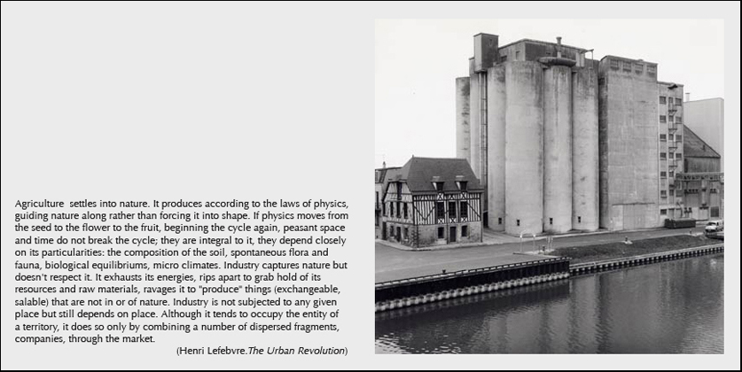
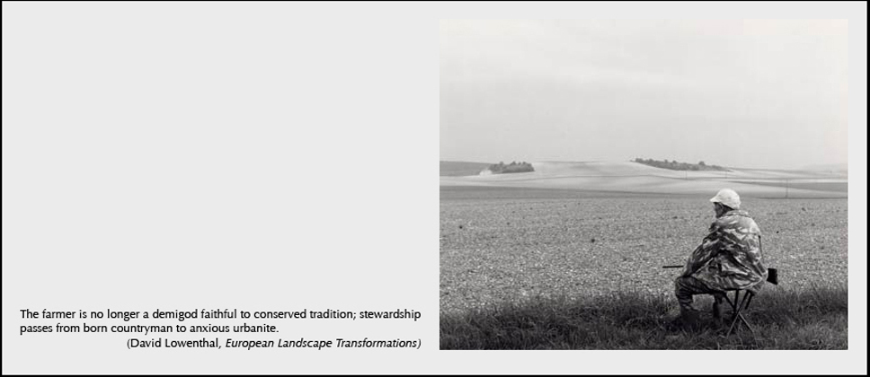
La Bassée is a low-lying plain 80 miles southeast of Paris. Traversed by the Seine river, it is about 40 miles long and 3 to 8 miles wide. In the 1970's a canal was dug to improve navigation and control the seasonal flooding that had always kept this agricultural region impoverished. This and other modernizations resulted in a substantial transformation of the landscape. For one thing, the farmer's fields, previously used mostly for seasonal grazing, now became suitable for modernized monocrop cultivation. And whereas the old meandering Seine had permitted only limited commercial navigation, the new canal provided a direct artery for low cost barge traffic down river to Paris. This made the Bassée's alluvial soil a prized inexpensive source of much needed gravel for construction in Paris.
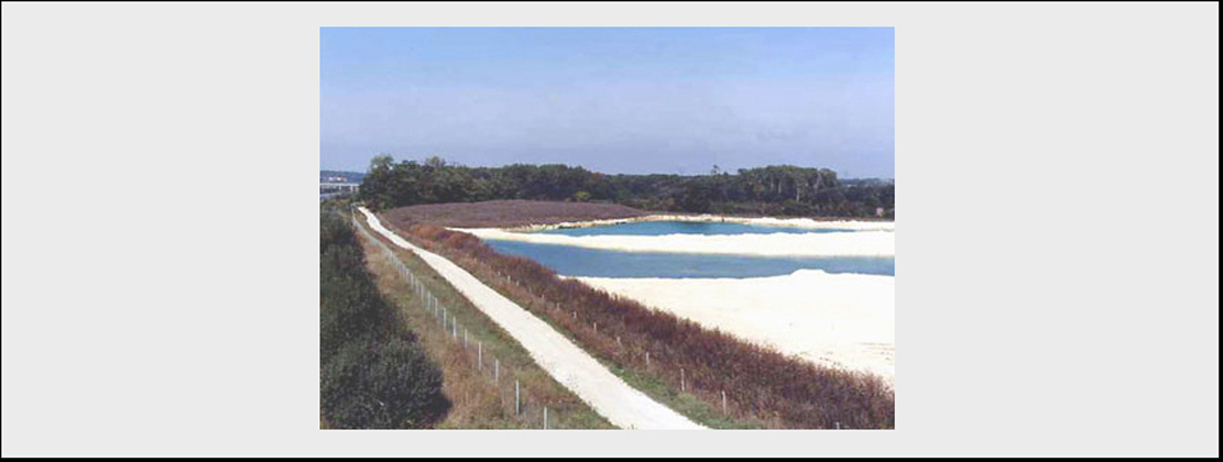
The "improvements" of the last 35 years have led to a series of severe interlocking environmental problems. The soil was rapidly exhausted by the intensive industrial farming. No longer revitalized by seasonal flooding, it required ever-increasing amounts of commercial fertilizer. This, combined with the evolution of the global agricultural economy, soon rendered these large new grain fields unprofitable. Farmers turned to selling their land for gravel exploitation.
While this was economically advantageous in the short term, it also led to an undermining of the agricultural way of life, the alteration the traditional farming topography and the pollution the water table. Still another unintended consequence of the canal was that even if it did enable local flood control, the net result was that it also increased down river flooding. Over time this problem has become all the more acute.
In 2001 I was invited by the regional planning division of Ministry of the Environment (DIREN) to do a photographic study of this wrecked landscape. The DIREN had been commissioned to study ways to undo the damage of the '70's and to restore the wetlands ecology. They were to propose ways to reinvigorate the local economy and further regional development, based on sustainable ecological practices. They were also to address two issues of direct concern to Paris: the protection of the purity of the groundwater, eyed as an additional source of drinking water for the ever expanding population of the metropolis, and the alleviation of the increased flooding, which in recent years has threatened the capital's many historic monuments.
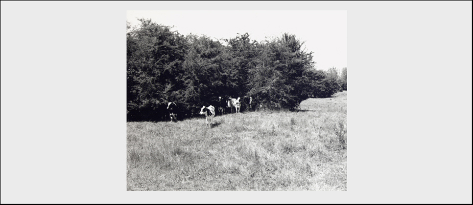
In this context, my photographs present an overview of the ways in which the often conflicting land usages of the Bassée have shaped this rural landscape. Eight subjects are identified: farming, transportation (shipping, rail, roadways), the quarries, recreational usage (including hunting, fishing and vacation homes), water purity, flood control, preservation of historic structures, and the creation of a nature reserve and bird sanctuary.
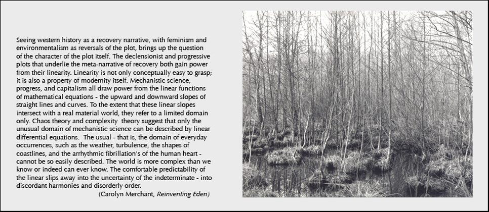
I pair some of these photographs with excepts from texts on contemporary landscape theory that have shaped my thinking in producing this work. These texts are meant to suggest a broader reading of the photographs, relating the specific to the general, the local to the global.